This page is provided as an index to assist you in locating some of the great camping places you will find located in Siskiyou County. Please click on each site of interest to view accurate pictures of the campgrounds, list of amenities, and general information as well as driving directions. It is hoped you will find this information helpful and enhance your stay in Siskiyou County. Please return or bookmark this blog as new information is added!
** Indicates that the campground is open year-round if roads are accessible.
Please also click the links on the right sidebar for things to do and see along the different routes!
Please be sure you check to be sure there are no fires in the area you are planning to camp! You will need a campfire permit for most campsites in Siskiyou County. They are free, ask any ranger. Also, note that the National Forest Service Campgrounds (NFS) are often seasonal only. During Covid-19 double-check that the campgrounds are open.
Camping along the I-5 Corridor: From Dunsmuir, CA to the Oregon Border on Interstate 5, Siskiyou County, California.
- Sims Flat Campground near Dunsmuir (NFS)
- Lake Siskiyou Camp near Mt. Shasta City (Commercial)
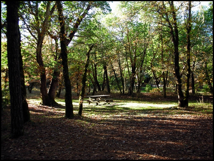
- McBride Springs Camp near Mt. Shasta City (NFS)
- Lake Shastina Public Access near Weed, Ca (County) Free!
- Waiiaka Trailer Haven, Yreka, CA (Commercial) **
- Yreka RV Park, Yreka, CA (Commercial) **
- Blue Heron RV Park, Hornbrook, CA (Commercial) **
- Iron Gate Reservoir Camping and Recreation, (BLM) Free! Closing to the public in May 2023
From Interstate 5 along the Klamath River to the county line at Somes Bar, CA

- Tree of Heaven Campground (NFS)
- Skeahan Bar River Access/Camp area (NFS) Free! **
- Beaver Creek Campground (NFS) Free!
- Quigley's General Store & RV Park OPEN! NEW OWNERS!
- Brown Bear River Access/Camp area (NFS) Free! **
- Sarah Totten Campground (NFS)
- Fort Goff Campground (NFS) Free!
- Curly Jack Campground (NFS)
- Dillon Campground (NFS) Currently Closed
- Nordheimer Flat Campground and River Access (NFS)
From the intersection of I-5 and 97 at Weed, California to the Oregon State Line
- Deer Mountain Snow Park (NFS) Free! **
- Juanita Lake Campground (NFS)
Camping along Highway 89 East and South East towards Lassen National Park. From Interstate 5 (near Mt. Shasta City) towards Lassen National Park East on Highway 89:
- Fowlers Camp (NFS)
- Pilgrim Creek Snowmobile Park and Campground Free!
- Cattle Camp (NFS)
- Algoma Campground (NFS) Free! **
- Dusty Campground (NFS, but operated by P. G. & E) Not in Siskiyou County, but nearby in Shasta County.
- Hat Creek Campground (NFS) Also not in Siskiyou County, but nearby with world-class trout fishing.
Camping in outlying Siskiyou County areas!
Click here for: Views along the Scott River
- Indian Scotty Campground (NFS) along the Scott River
- Lover's Camp (NFS) in the Marble Mountain Wilderness Free!
- Bridge Flat Campground (NFS) along the Scott River Free!
- Shadow Creek Campground (NFS) along the Salmon River Free!
- Matthews Creek (NFS) along the Salmon River
- Red Bank Public Camp (NFS) @ north fork of the Salmon River Currently Closed!
- Oak Bottom Campground (NFS) near Salmon River just off Hwy 96 on Salmon River Rd.
- Trail Creek Campground (NFS) @ Route 93 on the East Fork of the Salmon River
- Idlewild Campground (NFS) along the North Fork of the Salmon River
- Etna, California ~ Mountain Village RV Park (Commercial) **
- Kangaroo Lake & Campground (NFS) in the high country, accessible by auto
- Castle Lake in the high country, fully accessible by auto. Free! Only 10 miles from I-5!
- Gumboot Campground in the high country, accessible by auto. Free! Approximately 16 miles from I-5.